 Official State of Rhode Island Website


 Official State of Rhode Island Website

PORTSMOUTH – The Rhode Island Coastal Resources Management Council (CRMC) and Rhode Island Sea Grant wrapped up its sixth annual summer Public Access Education Series with a return to one of the topics the agency knows best: rights-of-way.
A group of more than 20 engaged members of the public joined the walk led by CRMC’s Leah Feldman, coastal policy analyst and public access expert, who explained the Rhode Island lateral access law as well as the different types of shoreline access represented at a handful of CRMC designated rights-of-way along Ruth Avenue.
“The law that was passed delineated the public access land as ten feet landward of the most recent swash line, or where the last high tide was,” Feldman said. “As you can see, we have this nice line of seaweed, stuff along the water that indicates where the high tide was today. So, if you take that line and follow it down, and then push ten feet landward of that line, that is what is now considered to be Public Trust area.”
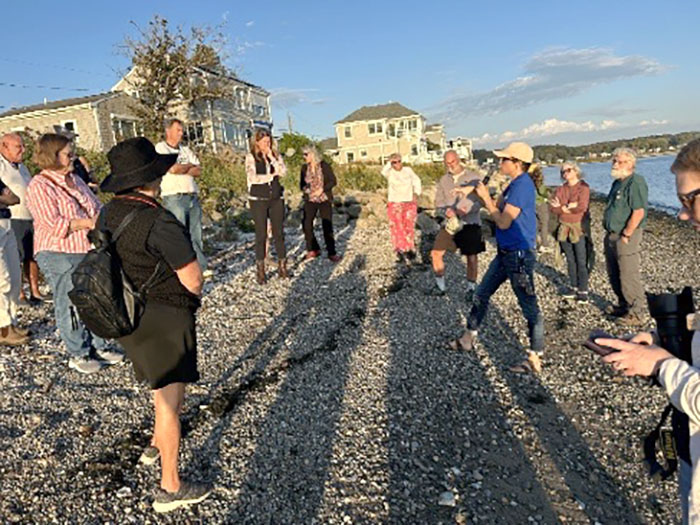
Leah Feldman, coastal policy analyst, explains the lateral access law.
Attendees had questions on the particulars: does access continue over someone’s sea wall or dock? Can people exercising their right to access the shore leave alcohol bottles and trash? Do members of the public have to be walking along the shore, or can they relax in a beach chair? Feldman explained that the law does not provide public access onto someone’s private property; that illegal activities remain so within the Public Trust area, including littering, public drinking, etc.; and that the Rhode Island Constitution allows for public access to the shore including leaving from the shore to swim, so sitting in a chair at the shore and then swimming is interpreted as being part of that right.
“It is not exclusive to walking,” Feldman said. “You do not have to be moving to enjoy this specific privilege. You can sit in the Public Trust area.”
Regarding these and other rights-of-way across the state, Feldman told the crowd that generally, the maintenance of CRMC-designated and other ROWs falls on the towns in which they exist, but sometimes it’s not as clear. Some ROWs are technically owned by property owners next to them, and there is an ongoing effort to provide towns with clarity on this issue.
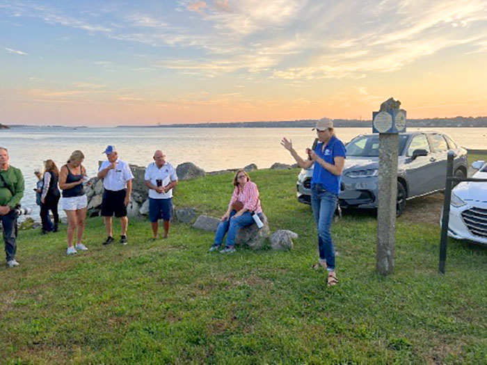
Feldman discusses the different types of ROW at one on Ruth Ave.
As the group walked down the street, they were able to experience a maintained path to the shore (a beach), an access point between two homes that provided a view of the shore but no access down to the water, an access point that included a boat ramp and paved area, a crumbling former boat ramp that was now presenting a safety issue, and one ROW with a natural buffer at the seaward end that was in need of intentional maintenance to provide a path through.
Feldman recommended the crowd visit the CRMC’s ROW online database when visiting these access and other points, for information on the exact location, width and photos of these rights-of-way. Visit https://www.crmc.ri.gov/shorelineaccess and click on the top link for the GIS mapping tool.
Casey Tremper, RISG’s coastal resilience specialist, explained the benefits of using the MyCoast app when visiting these shoreline access spots. Sea level rise and shoreline change are increasing flooding all over Rhode Island, including at rights-of-way to the shore. Members of the public can download the app (https://mycoast.org/ri) and use it when reporting flooding at ROWs or other coastal spots. Researchers use this crowdsourced information to inform their flood modeling and help educate municipalities on how to make their communities more resilient in the long-term.
For more information on shoreline access, go to https://www.crmc.ri.gov/shorelineaccess.
Stedman Government Center, Suite 3
4808 Tower Hill Road
Wakefield, RI 02879-1900
Voice: (401) 783-3370
Office Hours:
Monday – Friday
8:30am – 4:00pm