
2026 Tide Charts (PDF)
Coastal Barrier Resources System Mapper and library of RI Maps
(Coastal Barrier Resources Act site)
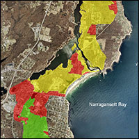
STORMTOOLS
Maps of storm inundation with and without sea level rise for varying return periods for RI coastal waters.
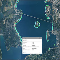
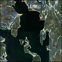
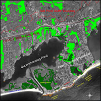
Eelgrass Mapper
Polygons, imagery, and field survey information collected by the Eelgrass Mapping Task Force for 2006, 2012, 2016, and 2021.
Freshwater Wetlands Jurisdiction
Click on the “Boundaries and Regulatory Overlays” layer and then choose “Wetland Jurisdiction”
(The CRMC and RIDEM collaborated on this legislatively-directed project that establishes clear delineations for the jurisdictional areas for freshwater wetlands. If your project lies on one side of the jurisdiction line, then you only need one agency to review the project.)
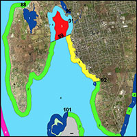
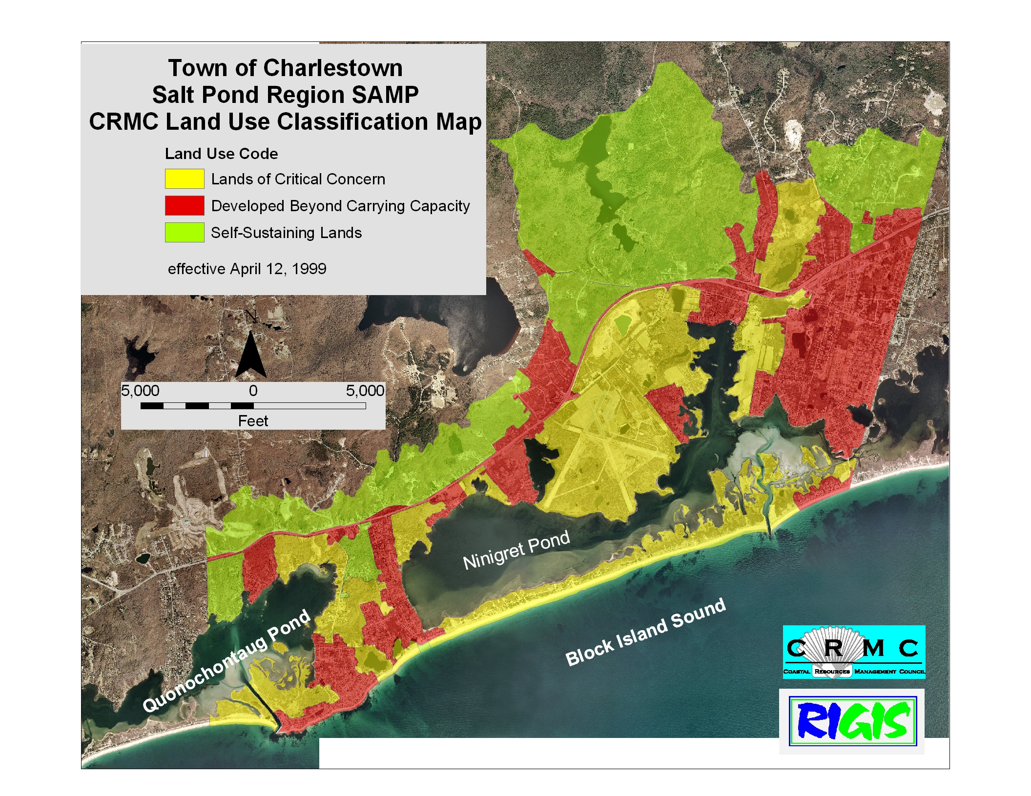
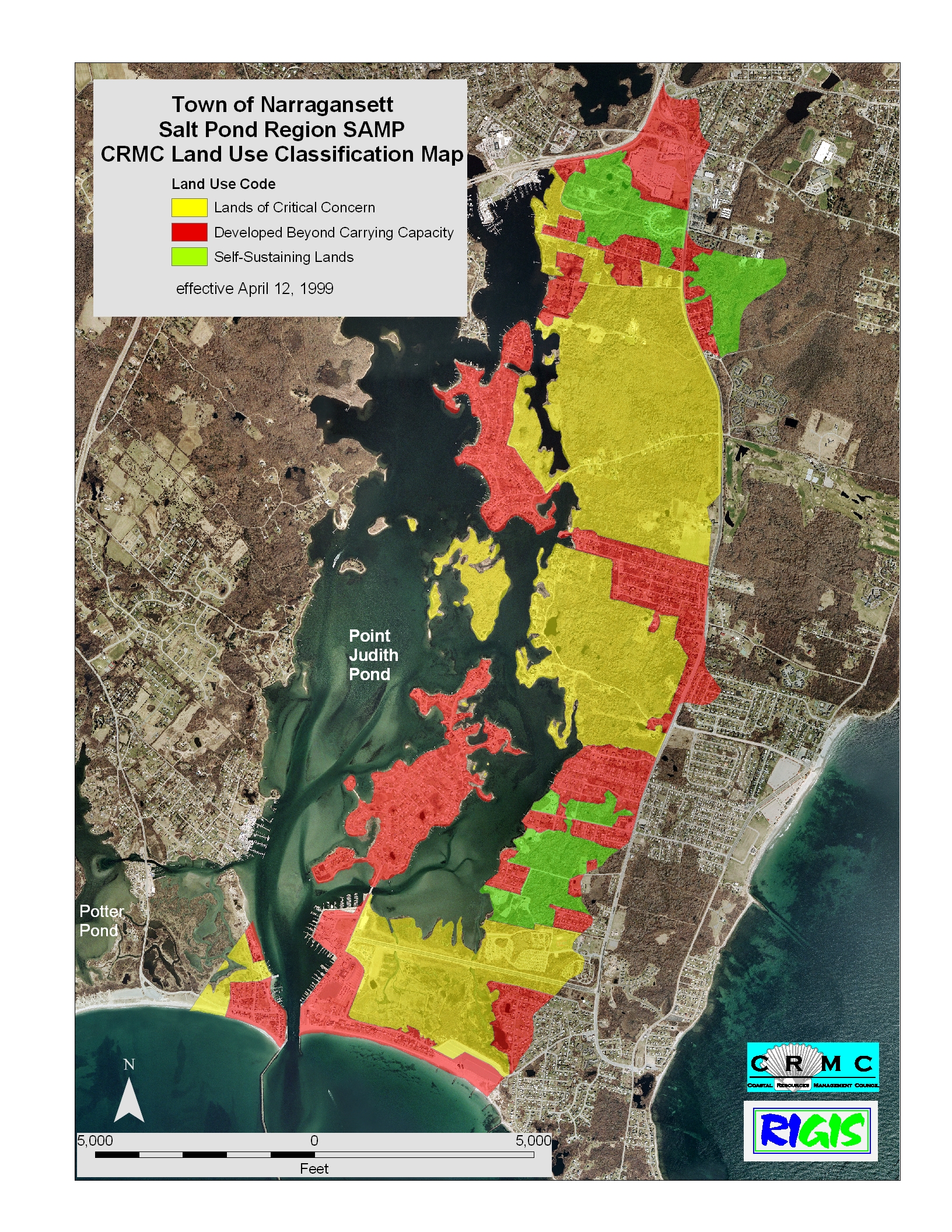
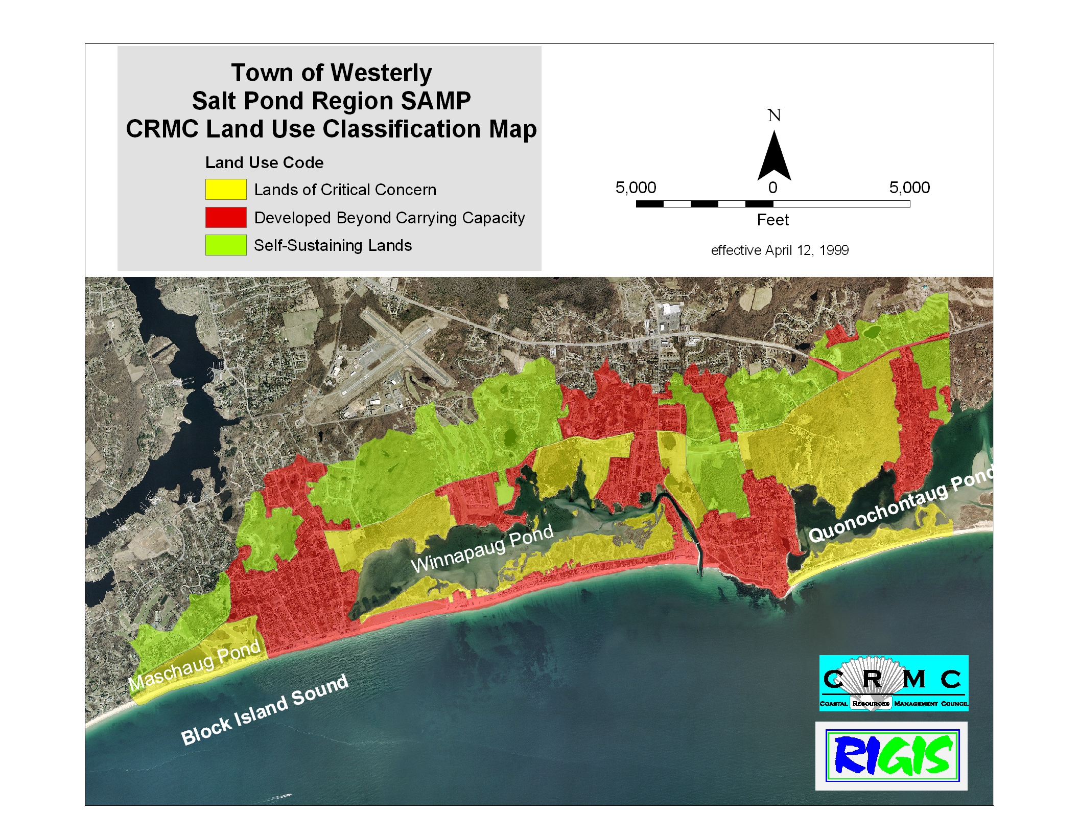
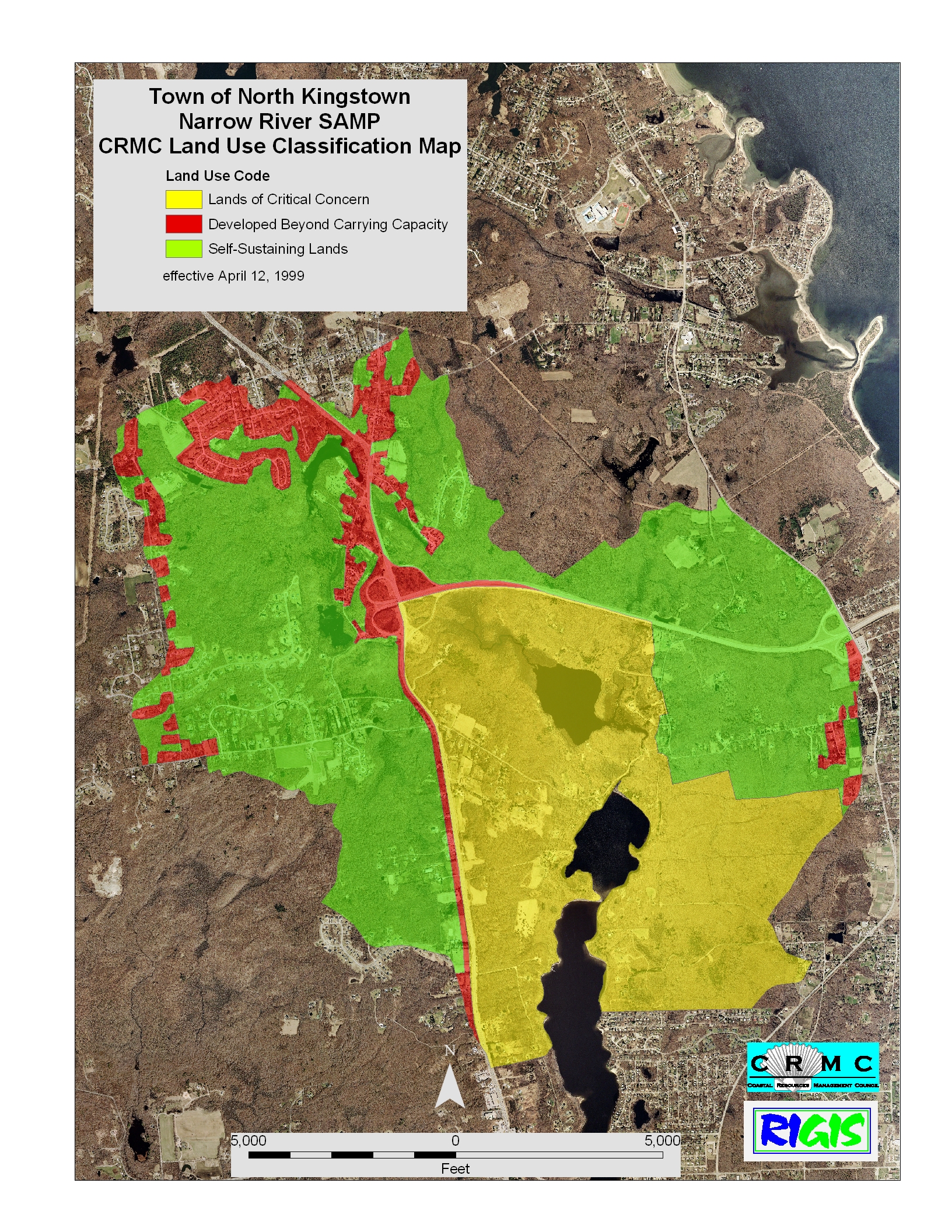
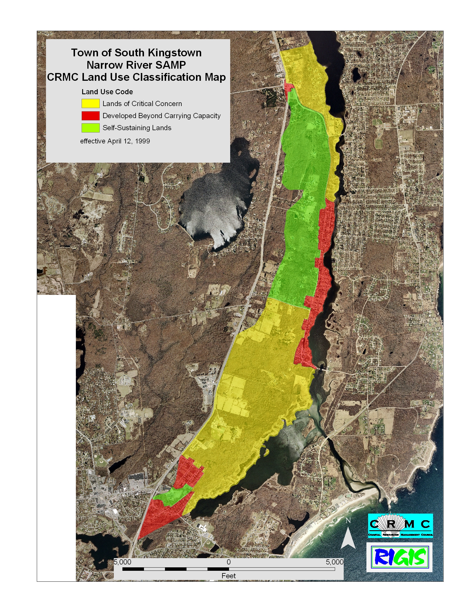
CRMC Land Use Designations
DEM Critical Resource Area boundary tool for Google Earth
Salt Pond Region SAMP
Charlestown • Narragansett •
South Kingstown •
Westerly
Narrow River SAMP
Narragansett •
North Kingstown •
South Kingstown
Stedman Government Center, Suite 3
4808 Tower Hill Road
Wakefield, RI 02879-1900
Voice: (401) 783-3370
Office Hours:
Monday – Friday
8:30am – 4:00pm