![]()
![]()
![]()
![]()

RI Coastal Resources Management Council
...to preserve, protect, develop, and restore coastal resources for all Rhode Islanders
![]()
![]()
![]()
![]()
...to preserve, protect, develop, and restore coastal resources for all Rhode Islanders
CRMC designates four new rights-of-way
August 17, 2021, PROVIDENCE – The R.I. Coastal Resources Management Council (CRMC) recently designated four new public rights-of-ways – three in North Kingstown and one in Providence.

Wickford Wharf (photo courtesy RISG)
At its February 23 meeting, the CRMC Council adopted the Allen Harbor Complex, Town Wharf, and Wilson Park ROWs, all in North Kingstown. A new CRMC ROW at Public Street in Providence was adopted by the Council at its July 27 meeting. With the designation as a CRMC right-of-way, these spots will be offered an additional layer of protection so that they are preserved and protected as shoreline public access spots for the public to use in perpet-uity. Typically once adopted, the ROWs continue to be maintained by the municipality, unless they are adopted through the CRMC’s Adopt-an-Access Program. In that case, the adopting entity takes on the responsibility for upkeep.
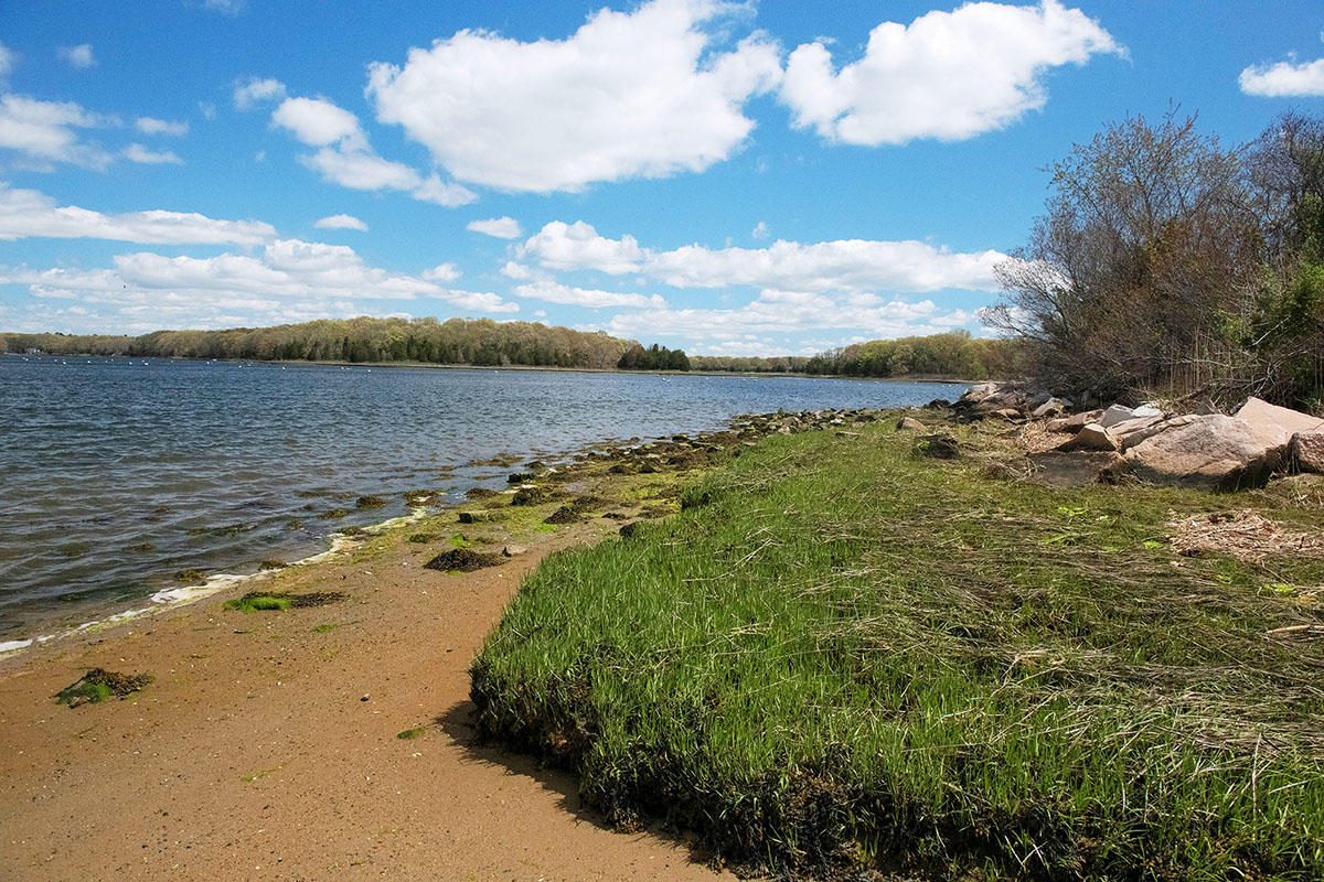
Wilson Park shoreline (photo courtesy RISG)
The three North Kingstown ROWs are unique in that the town requested that the three parcels in their entirety be designated as rights-of-way.
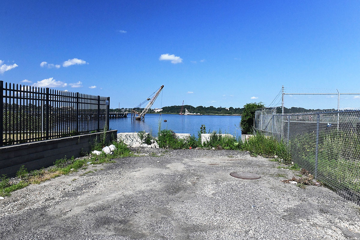
Public Street (photo courtesy RISG)
The City of Providence, Office of the Rhode Island Attorney General, and the Providence City Council supported the designation of this right-of-way. Designation of these and other ROWs supports the CRMC’s mission to designate a CRMC right-of-way for each of Rhode Island’s 420 miles of coastline. With these designations, there are now 230 throughout the state. The CRMC is in the process of investigating additional designations. Check the web site for updates: http://www.crmc.ri.gov/publicaccess.html.
“Congratulations to the City of Providence and Town of North Kingstown on their new CRMC rights-of-way,” said CRMC Executive Director Jeff Willis. “The city and town worked with us through the entire process, believed strongly in these rights-of-way, and we’re happy to add them to our growing list. Rhode Islanders all over the state have a right to the shore, and these new shoreline public access points will help them exercise that right.”
Stedman Government Center
Suite 116, 4808 Tower Hill Road, Wakefield, RI 02879-1900
Voice 401-783-3370 • Fax 401-783-2069 • E-Mail cstaff1@crmc.ri.gov
![]()
![]()
An Official Rhode Island State Website